
America’s hurricane warning system is crumbling at the worst possible moment. Just as forecasters predict an unusually active 2025 hurricane season, the Department of Defense has pulled the plug on vital satellite data. Starting June 30, real-time microwave data from three DMSP military satellites—essential tools for tracking storm structure and intensity—will go dark. Perfect timing, right?
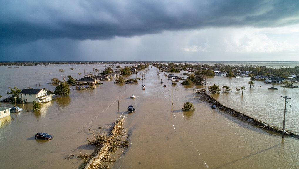
The National Hurricane Center is freaking out, and honestly, they should be. These satellites were their eyes in the sky when aircraft couldn’t fly or during those pivotal overnight hours. Without them, we’re looking at “sunrise surprise” hurricanes that intensify while everyone’s sleeping. Good luck with that morning commute when a tropical storm transforms into a monster hurricane overnight.
It gets worse. NOAA Weather Radio stations in vulnerable Gulf Coast areas like Galveston and Corpus Christi went offline June 1st. Nearly a million residents who depend on these broadcasts for life-saving warnings now have static instead of storm alerts. No timeline for fixing them either. Fantastic.
The DoD cited vague “security concerns” for the satellite shutdown. Meanwhile, forecasters are scrambling to patch together alternatives from NOAA and international satellites. But here’s the twist—they can’t fully close the data gap. Not immediately, anyway.
Only one in three Atlantic hurricanes get aircraft reconnaissance data. The Pacific gets even less attention. Radar and planes simply can’t replace 24/7 satellite coverage. Period.
The consequences? Delayed evacuations. Less accurate forecasts. Reduced warning time. And with 90% of hurricane deaths coming from water hazards like storm surge and flooding, people will die.
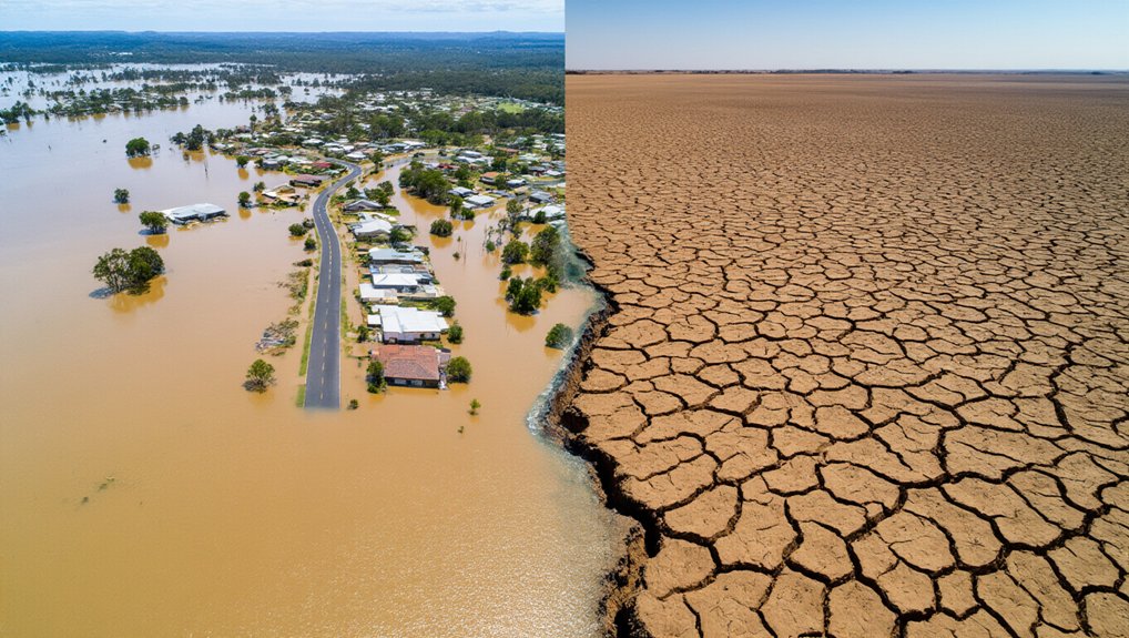
Ocean temperatures are unusually warm this year. Conditions favor stronger, more frequent storms. And rapid intensification—that terrifying phenomenon where hurricanes strengthen dramatically in hours—is happening more often. Lockheed WC-130 and NOAA WP-3D Orion aircraft conduct vital hurricane reconnaissance missions to gather crucial data, but they cannot provide continuous coverage like satellites. We’ve already seen this with Tropical Storm Barry, which quickly formed in the Bay of Campeche before making landfall in Mexico.
References
- https://www.chron.com/weather/article/2025-atlantic-hurricane-gulf-forecasting-20400520.php
- https://www.stormwater.com/home/article/13031527/americas-hurricane-warning-system
- https://www.local10.com/weather/hurricane/2025/06/26/critical-hurricane-forecast-tool-abruptly-terminated/
- https://www.noaa.gov/education/resource-collections/weather-atmosphere/hurricanes
- https://www.usbordernews.com/p/warning-systems-down-as-hurricane-season-nears