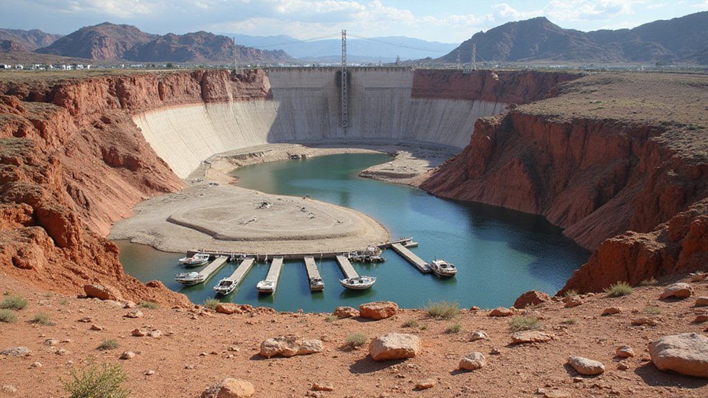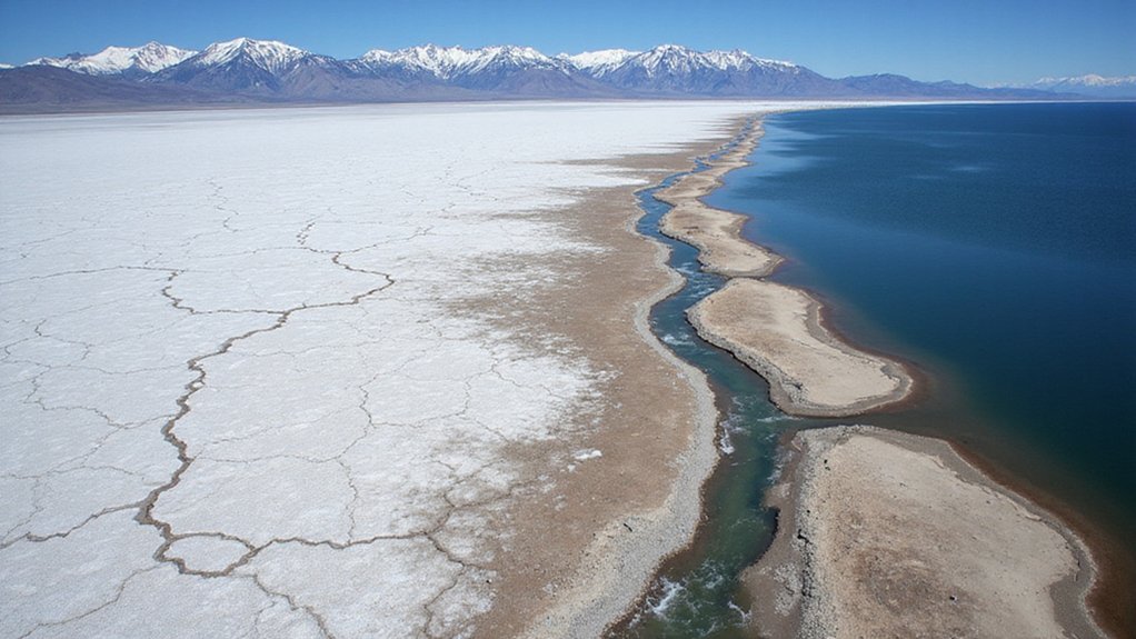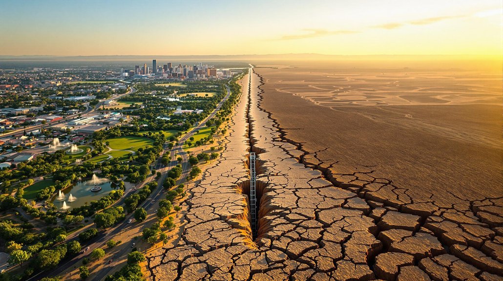
Arizona faces a groundwater paradox. Urban areas like Phoenix and Tucson have gained groundwater through strict management practices, while rural regions suffer severe depletion due to lack of regulation. Climate change further complicates matters as Colorado River flow decreases and Lake Mead drops to 36% capacity. Agricultural demands are shifting toward groundwater as surface water dwindles. Environmental impacts include land subsidence and fissures. This contrast reveals Arizona’s complex water future.
While Arizona’s urban areas have made significant progress in managing their groundwater resources, the state faces a growing water crisis in its rural regions where few regulations exist. The stark contrast between regulated and unregulated areas shows a troubling divide in how the state is preparing for a water-scarce future.
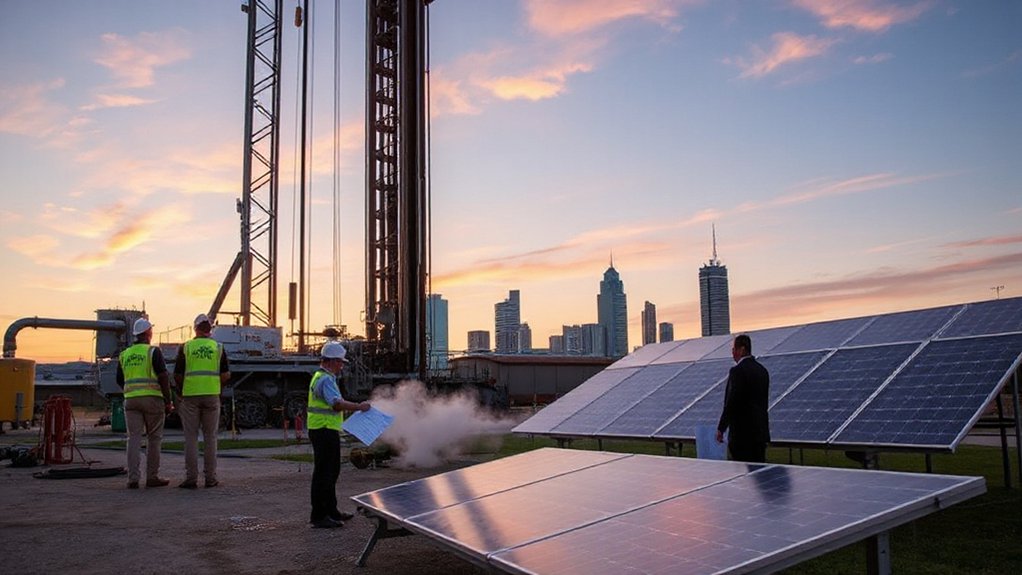
The 1980 Groundwater Management Act created Active Management Areas (AMAs) that cover urban counties, where pumping limits and conservation plans are required. These efforts have paid off. Phoenix and Tucson AMAs have actually gained groundwater, with 10.5 cubic kilometers banked from 1989 to 2019.
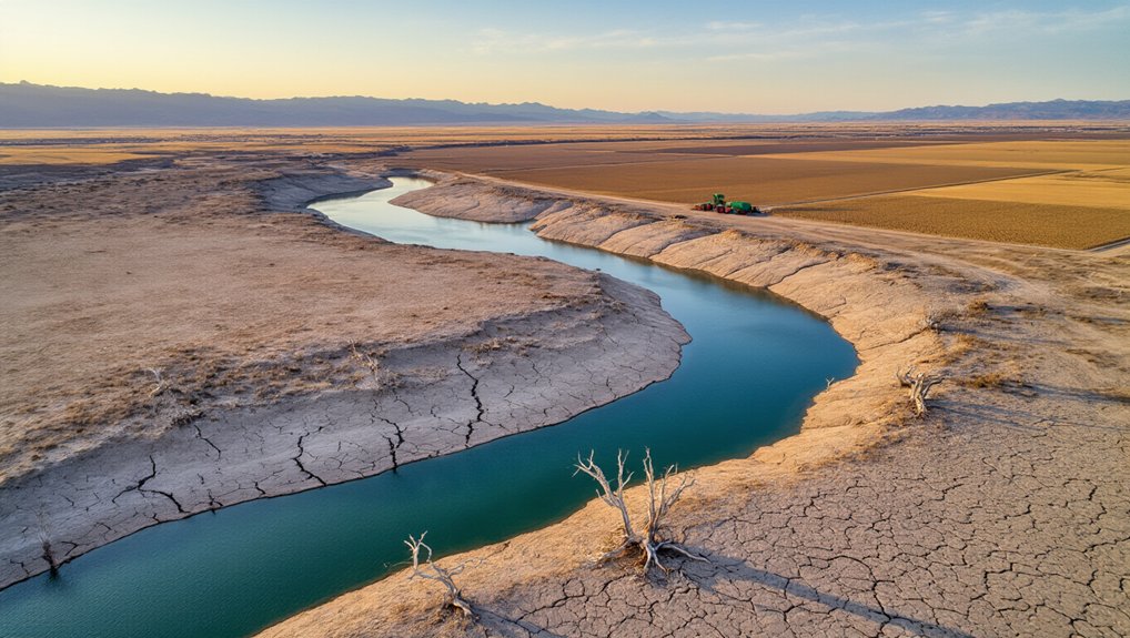
However, rural counties, accounting for 47% of pumping capacity, remain largely unregulated. Areas like Gila Bend and the Willcox–Douglas Basin are seeing rapid groundwater depletion. Some agricultural wells in these regions now reach depths over 1,000 feet as farmers dig deeper to access water. The overdraw issues in these specific basins contrast with the relatively healthy groundwater conditions in other parts of the state.
The problem is getting worse as climate change threatens surface water supplies. Colorado River flow has already declined 18%, with Lake Mead dropping to 36% capacity in recent years. Tucson is the closest AMA to reaching safe yield goals, coming within 25,000 acre-feet for eight consecutive years. As surface water becomes scarcer, both urban and rural areas will likely increase groundwater pumping.
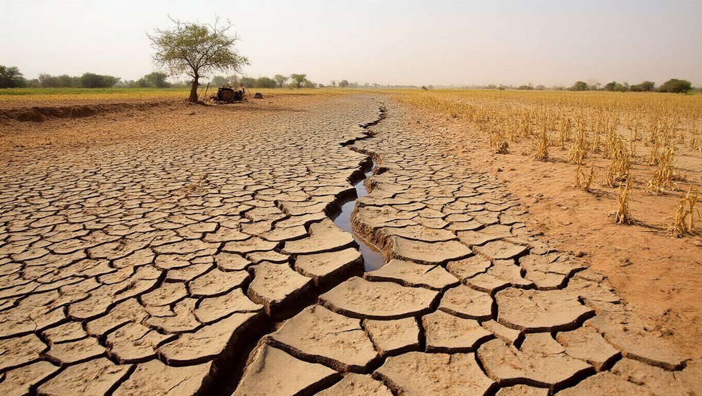
The environmental impacts are already visible. Cochise County is experiencing ground subsidence of almost half a foot annually. Land fissures have appeared, and springs feeding major rivers are drying up as water tables fall.
Agricultural practices are shifting in response to water scarcity. From 2010 to 2015, groundwater use in Arizona agriculture increased by over 305,000 acre-feet while surface water use decreased by almost 360,000 acre-feet.
The paradox lies in the dual nature of Arizona’s water situation: urban areas with rising groundwater levels alongside rural regions facing rapid depletion. Both face an uncertain future as climate change threatens the Colorado River and other surface supplies. Without expanded regulations and better measurement of actual water savings, Arizona’s groundwater challenges will only intensify in the coming years.