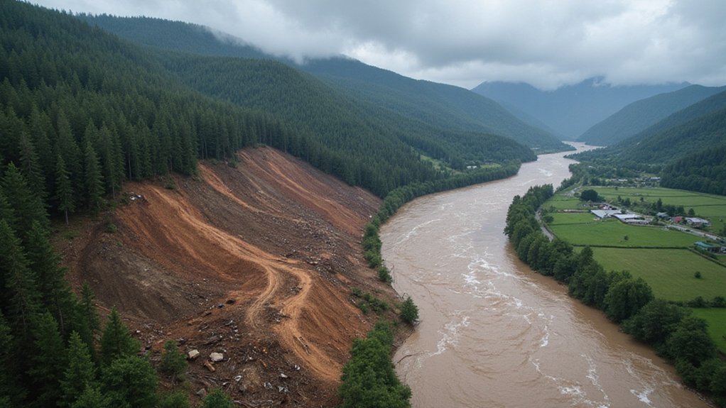
The numbers don’t lie. When forests disappear, floods arrive with terrifying frequency – jumping a staggering 4 to 18 times after clear-cutting. That’s not a typo. After trees get the ax, what used to be a once-in-70-years flood now happens every nine years. Just normal weather now, right?
Forests gone, floods arrive. A once-in-70-years deluge now strikes every nine years—catastrophe becomes routine.
Peak floods swell up to 105% larger post-deforestation, with the average flood bulking up 47% compared to pre-cutting levels. And here’s the twist – these aren’t temporary changes. The hydrological nightmare sticks around for over 40 years. Four decades of water where it shouldn’t be, when it shouldn’t be there.
Traditional flood models got it all wrong. They used simplistic formulas that missed significant variables like watershed orientation. North-facing slopes, which naturally retain more moisture and receive less sunlight, showed dramatically worse flooding after tree removal than their south-facing counterparts. Same forest loss, completely different flood results. Geography matters, folks.
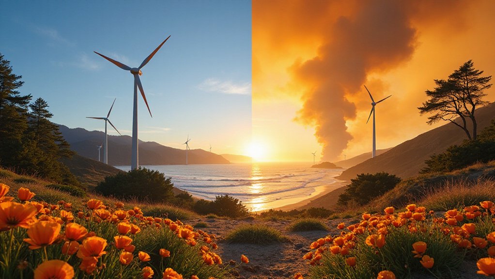
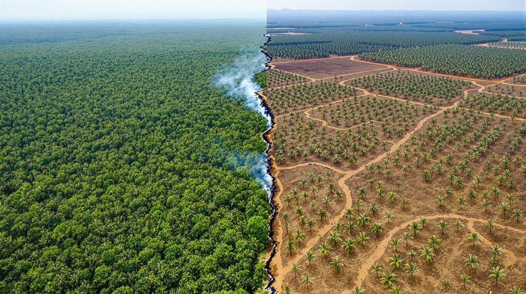
About 34% of global tree cover loss since 2001 represents permanent change – meaning those trees aren’t coming back. In tropical rainforests, the permanent loss jumps to 61%. Gone forever, replaced with farms, roads, or developments that can’t absorb water like a forest does. Areas hit by recent megafires also face prolonged recovery periods, with fewer than one-third of forests recovering within seven years.
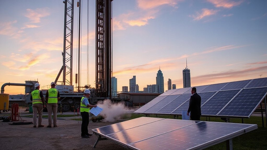
Thanks to new 1-km satellite data, scientists can now track forest loss drivers with unprecedented detail. This precision helps target conservation efforts where they’ll actually work. Because one-size-fits-all approaches are about as effective as using a kitchen strainer to stop a flood. Using probabilistic framework analysis across decades of data reveals much stronger flood impacts than outdated models predicted.
The ecological fallout is severe. Frequent flooding destabilizes habitats for countless species while threatening agricultural communities. Infrastructure built under outdated flood projections simply isn’t prepared for this new normal. Recent studies in British Columbia have developed models to identify regions with higher flood risk due to specific landscape factors.
Bottom line? We’ve dramatically underestimated how forest removal transforms flood behavior for generations. What used to be extreme is now routine. What used to be manageable is now catastrophic. And the effects don’t fade away after a few years – they become the new normal.
References
- https://www.earth.com/news/forest-removal-can-turn-rare-floods-into-regular-disasters/
- https://phys.org/news/2025-07-forests-linked-frequency-size.html
- https://www.wri.org/insights/forest-loss-drivers-data-trends
- https://www.globalforestwatch.org/blog/data-and-tools/new-drivers-data-forest-loss/
- https://www.vpm.org/npr-news/npr-news/2025-07-15/floods-are-getting-more-dangerous-around-the-country