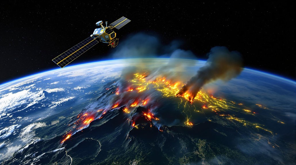
FireSat, launched March 2025, isn’t your average space junk. This satellite detects fires as small as 5×5 meters through smoke, updating imagery every 20 minutes—way faster than current systems. It’s like having a tireless firefighter in orbit. The AI-powered tech distinguishes real fires from false alarms, helping crews respond before the first 911 call even comes in. And this is just the first of fifty planned by 2030.
While wildfires continue to ravage landscapes across the globe, a groundbreaking solution is finally on the horizon. The FireSat Satellite System, launched March 14, 2025, via SpaceX Transporter-13 mission, promises to revolutionize how we detect and respond to these increasingly devastating infernos. It’s about time.
This isn’t your grandpa’s satellite technology. FireSat can detect fires as small as 5×5 meters—basically classroom-sized—compared to current systems that can only spot something football field-sized. And updates every 20 minutes? That beats the pathetic 12-hour refresh rate we’ve been stuck with for years.
Developed through a partnership between Earth Fire Alliance, Muon Space, Google, and other organizations, FireSat utilizes 6-band multispectral infrared sensors. Fancy tech-speak for “it sees fire really well.” The system’s AI compares real-time imagery with historical data, distinguishing actual fires from other heat sources. The idea for FireSat originated from Juliet Rothenberg’s terrifying personal evacuation experience during a California wildfire. No more false alarms because someone’s backyard grill got too hot.
FireSat’s 6-band sensors don’t just see heat—they see the difference between your BBQ and a budding inferno.
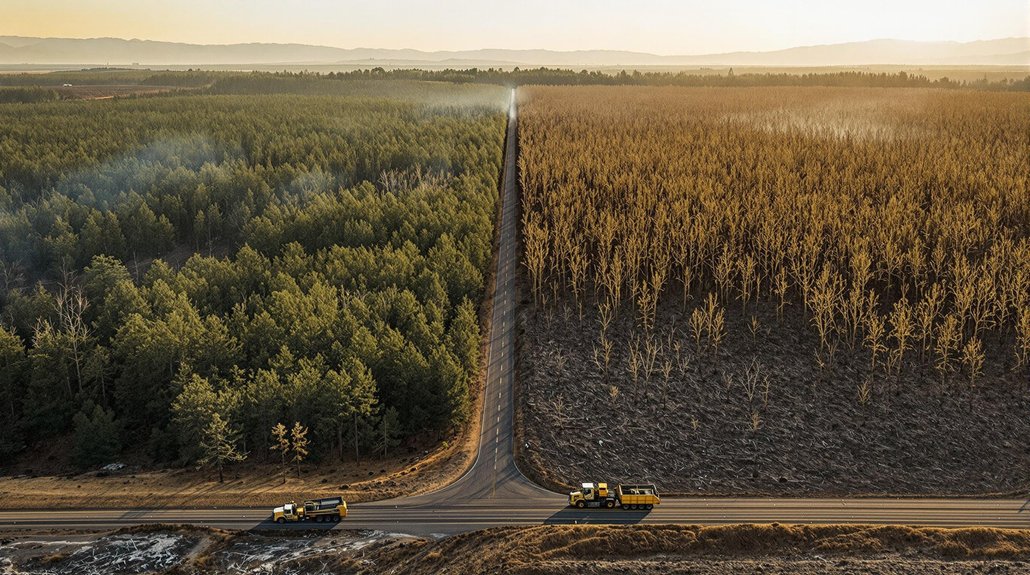
The practical benefits are enormous. Firefighters can now detect blazes before the first 911 call, pinpoint exact locations, and track spread patterns in real time. Through smoke? No problem. FireSat sees it all. Resource allocation and evacuation decisions happen faster. Lives saved. Property protected. Simple math.
This first satellite marks just the beginning of an ambitious constellation. Three more FireSats will launch in 2026, with over 50 planned by 2030. The project has secured 13 million dollars from Google to fund this critical environmental initiative. Global coverage is the endgame.
The collaborative effort brings together Google’s AI expertise, Muon Space’s manufacturing capabilities, and funding from the Gordon & Betty Moore Foundation. The Earth Fire Alliance serves as the nonprofit home for the project.
With climate change intensifying wildfire threats worldwide, FireSat couldn’t arrive at a better time. It contributes valuable data to our understanding of fire behavior and climate impacts. As feedback loops from climate change accelerate wildfire frequency and intensity, this satellite system represents a critical adaptation strategy. Plus, it integrates with existing applications used by fire agencies.
Sometimes the best solutions come from above. In FireSat’s case, about 300 miles above. And not a moment too soon.